
Last evening, while taking a walk around our campground just before dusk, we spotted two young boys in a pose which was reminiscent of a Norman Rockwell portrait.

After great sleeping weather, we resumed our westward trek along I-70 taking us on the final 100 miles of western Pennsylvania, across the nine mile ringer of northern West Virginia and into Ohio. Interestingly, unlike central Pennsylvania, the western part of the state is far more rolling, generally treed and at least along the I-76 and I-70 corridors, far fewer farms are seen … and most of those we did see appeared to be in raising hay rather than cattle.


At the Ohio Visitors Center, we again stumbled across another nugget American history which our travels have afforded an opportunity to discover. It seems that I-70 either closely parallels or runs concurrent with the old National Road, US-40 … similar to the way I-40 and America’s Road, US-66 parallel or overlap each other from Missouri to California.
The National Road crosses six states from Baltimore, Maryland to East St. Louis, Illinois.

The Road fulfilled the dreams of George Washington and Thomas Jefferson to build an all-weather route across the Allegheny Mountains to connect the Eastern Seaboard with the Midwest. The Road was conceived by Albert Gallatin, Secretary of the Treasury under President Jefferson, and was authorized b y Congress in 1806. The Road was the national’s first federally-funded interstate highway and opened the West for the movement of people and goods.
Construction began in 1811 in Cumberland, Maryland, extending an earlier route from Baltimore. By 1818, the Road reached the Ohio River, by 1833 it was completed to Columbus, Ohio, and in 1650 it extended west to Vandalia, Illinois.
The National Road is an engineering marvel. Graceful stone arch bridges cross numerous streams and rivers. Inns and taverns were built to meet the needs of travelers. Many of the bridges and buildings that characterized the early days of the Road can still be found in towns along the Road today.
The earliest highway signs along the National Road in Ohio were milestones located at one-mile intervals along the north side of the roadway.
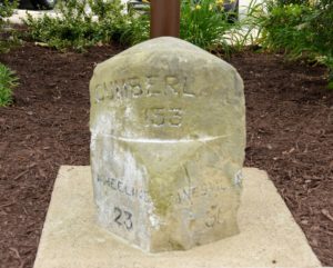
Each stone indicated the distances to Cumberland, Maryland, the eastern terminus of the National Road, and the nearest cities and villages for both east and west bound travelers. The above original stone marker was 209 miles from Cumberland, Maryland (top face), 79 miles from Wheeling and 5 miles from Zanesville, Ohio (left face) and 48½ miles from Columbus, Ohio (right face).
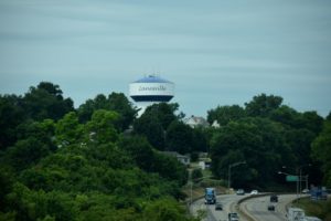
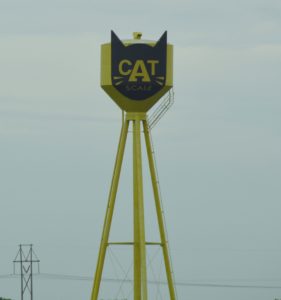
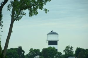
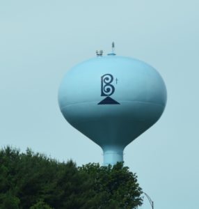
Meanwhile, Debbie made it her mission to record as many of the water towers along I-70 as possible!


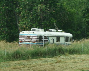
She also spotted several abandoned vehicles,

a hexagonal church,

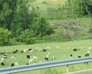
a herd of "wild" animals,
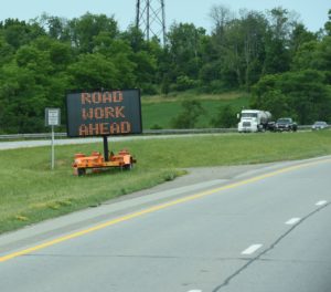
and endless sections of
Tonight, we’re settled in to our campground in Galloway,

just southwest of Columbus, OH and carefully watching the weather heading our way from the Chicago area. Heavy rains, high winds (up to 60-70 MPH) and the possibility of tornados are in the overnight forecast. We’ll be pulling in our slides and, I suspect, sleeping very lightly until the threat has passed.
However, if the sirens begin blaring, we’ll be heading for the basement of the campground’s office building.